CdoGEO KFU started training employees of LLC “Graphics-Engineering” under the “Application of global satellite navigation systems (GLONASS/GPS) in geodesy, cartography and navigation” program
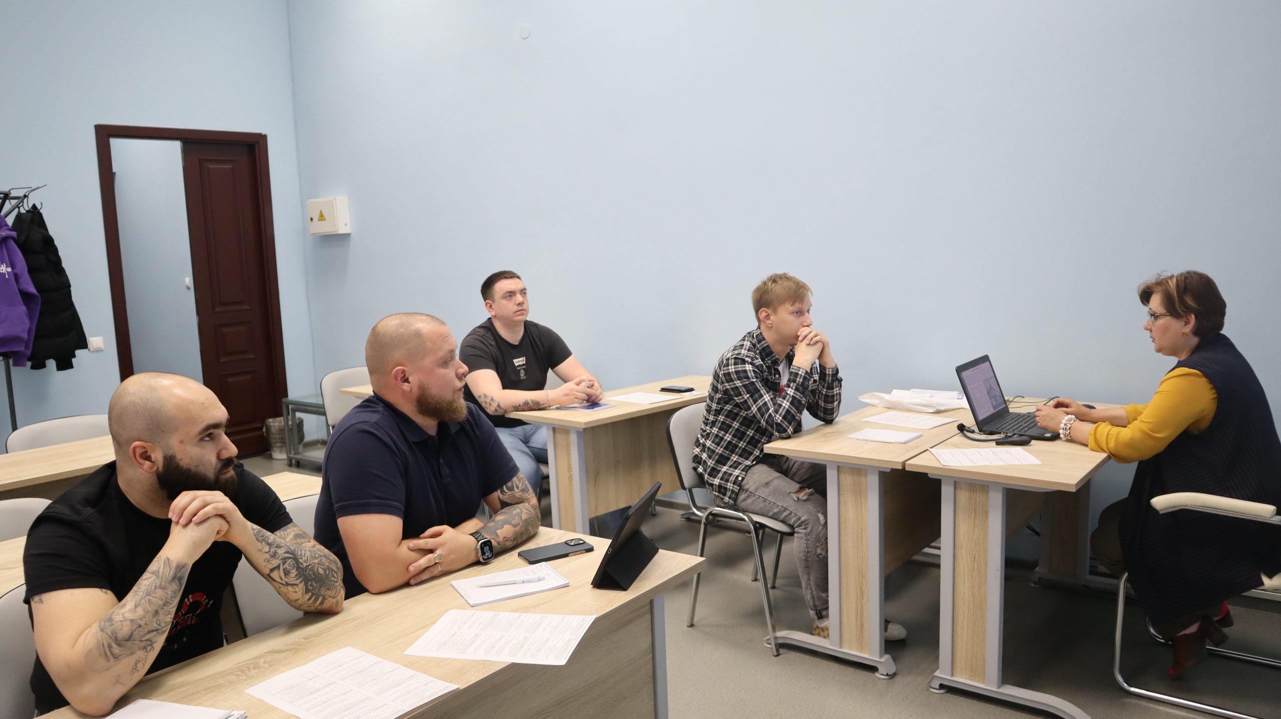
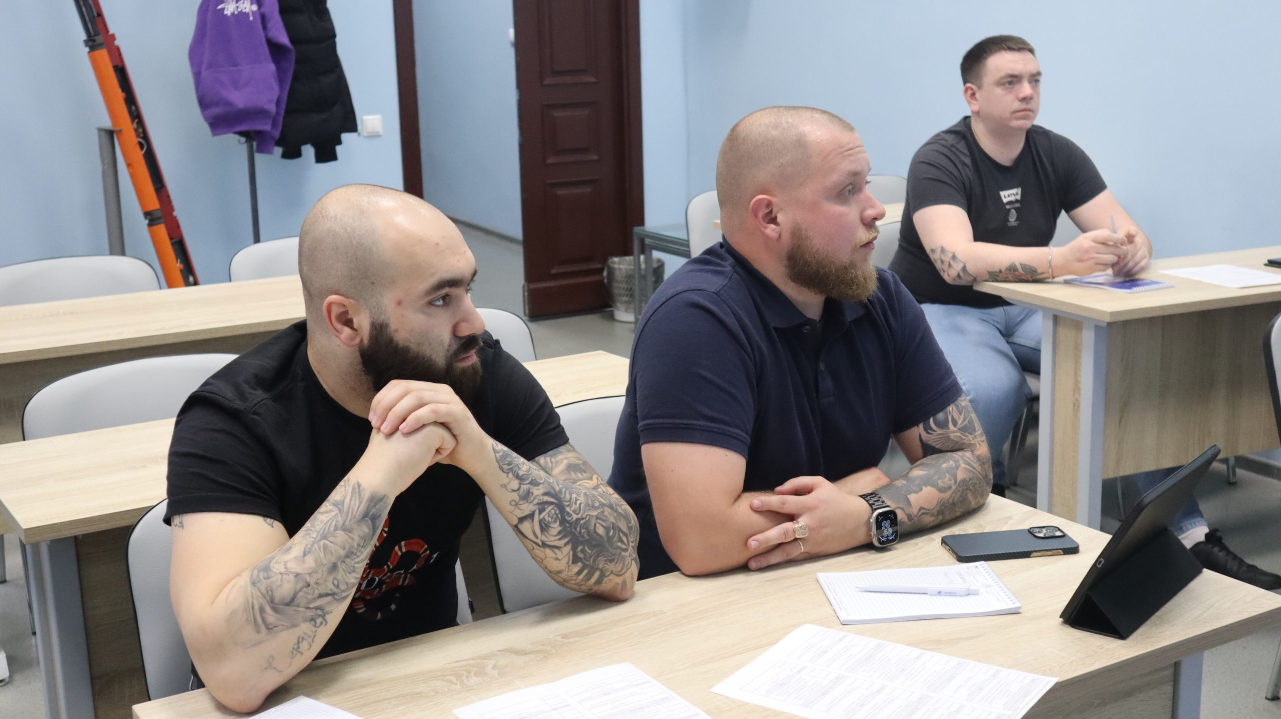
On May 3, the training at the Center for Advanced Training, Quality Management and Marketing (CdoGEO) of the Institute of Geology and Petroleum Technologies of Kazan Federal University began under the “Application of global satellite navigation systems (GLONASS/GPS) in geodesy, cartography and navigation” advanced training program. The participants of the course are employees of LLC “Graphics-Engineering”.
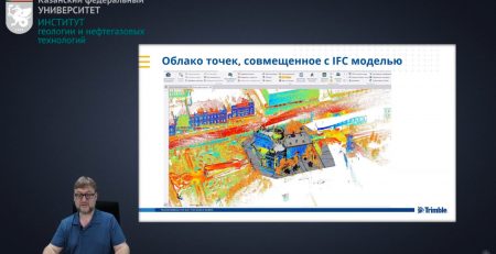
During the training, students will gain knowledge about the coordinate systems used in geodesy, the basic principles of global navigation satellite systems operation. Within the framework of the course the following areas are considered in detail: technologies of geodetic works based on GNSS, processing of satellite measurements, as well as the use of satellite systems in engineering and geodetic surveys, cartographic and cadastral works, construction of buildings and structures.
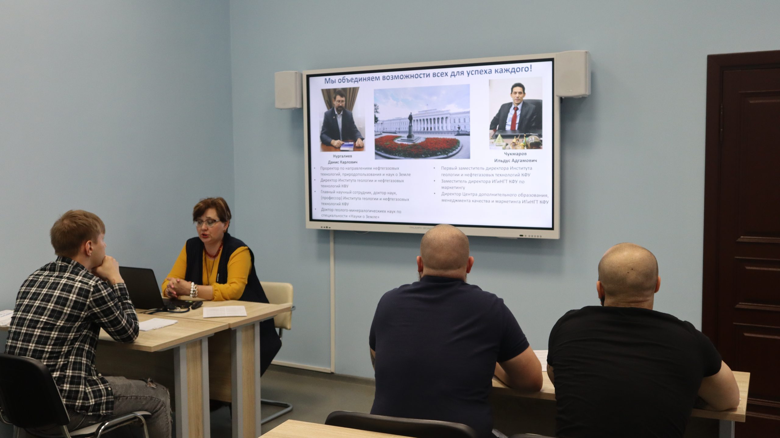
“It is the first time that employees of Graphica-Engineering LLC are being trained at our Center,” says Ildus Chukmarov, Deputy Director of IGPT for Marketing, Director of the Center for Advanced Training, Quality Management and Marketing (CdoGEO). This advanced training course is being conducted jointly with the teachers of the Institute of Physics KFU — Associate Professor of the Department of Astronomy and Space Geodesy Renat Zagretdinov, Assistant Professor of the Department of Astronomy and Space Geodesy Alexei Sapronov and invited experts — Director of Eridan LLC Rafik Nazarov and Trimble technology expert (USA) Mikhail Karavanov, I am sure that this teaching staff will be able to share their knowledge and experience with our students.”